Inca Trail to Machupicchu 4 Days / 3 Nights
![]()
Tiempo
6D / 5N
![]()
Altura
2547 MSNM
![]()
Tipo
TREKKING
![]()
Alimentación
ALMUERZO
![]()
Precio:
USD: $322
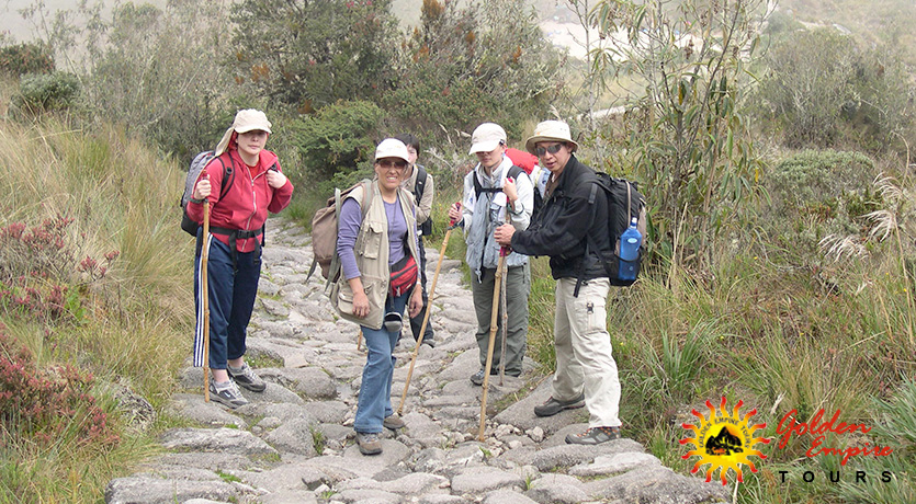
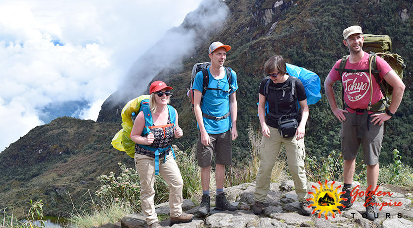
This is the best trekking in the world, for its breathtaking natural beauty, vast ecological diversity of flora and the considerable number of endemic wildlife; and well preserved archeological sites. Following the ancient Stone path, we traverse high mountain passes and walk through ecological áreas ranging from high desert puna to Andean cloud forest and subtropical jungle.
Itinerary
DAY 1 CUSCO – Km 82 PISCACUCHO – WAYLLABAMBA)
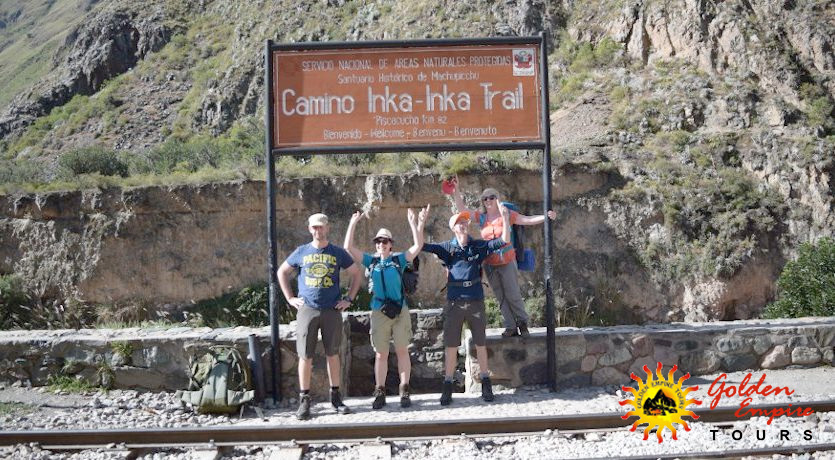
Early morning departure from Cusco (4:00-4:30 AM) on private coach . Along the way we pass the towns of Chinchero, Urubamba and Ollantaytambo After approximately 2-2½ hours of travel, we reach the site of Piscacucho situated on the Kilometer 82, on the right bank of the Urubamba River. we start the hike along the left bank of the Urubamba.
The scenery is spectacular, with the canyon of the Urubamba, and the high snow-capped peaks of Veronica, looking above us from the right bank of the river. we trek through is at times semi-tropical in nature, with a great predominance of opuntia cactus (prickly pear) and various bromeliads.
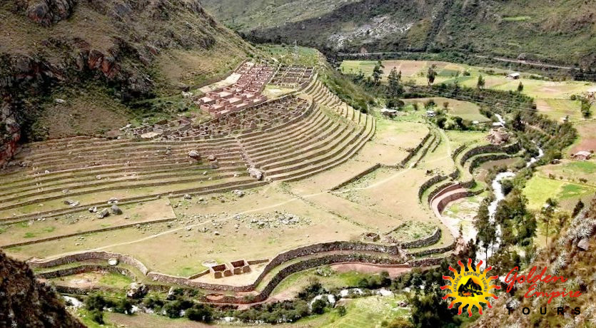
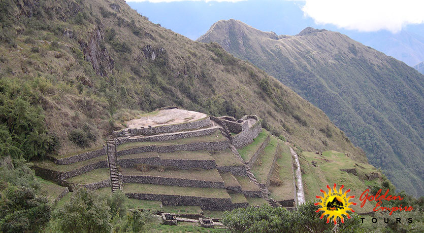
At the end of these 6 kilometers we arrive at the important archeological site of Llactapata, situated at the point of confluence of the Cusichaca River with the Urubamba. This was an important Inca administrative center for this region. The ruins has numerous agricultural terraces. Lunch at Llactapata.
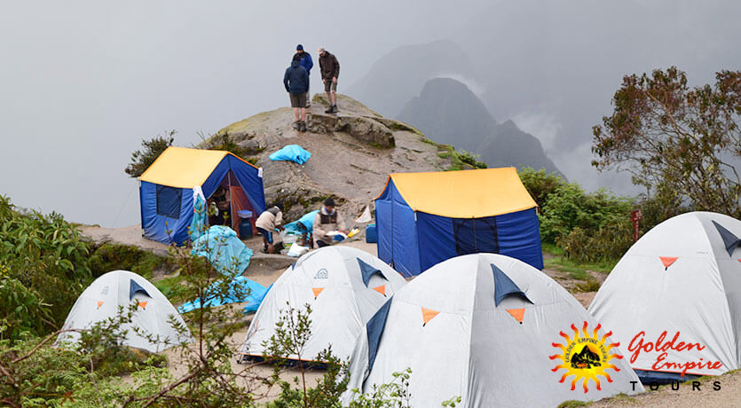
In the afternoon, we hike for 5 hours, following the course of the Cusichaka river. There is abundant bird life to observe. We reach the archaeological site of Wayllabamba, where we shall camp on the first night.
- Distance: 12 kilometers 7.5 miles
- Approximate walking time: 5 – 6 hours
DAY 2 (WAYLLABAMBA – WARMIWAÑUSKA – PACAYMAYO)
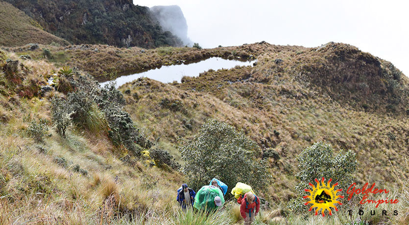
On this our second day of trekking, we shall climb -always following a westerly direction- through the cloud forest, reaching the pass of Warmiwanuska, at an altitude of 4,250 meters. This is the highest point of the entire trek. From the summit the view is spectacular. The snow capped peaks are fully visible as are the numerous and densely vegetated cloud forests and sub-tropical valleys.
The steepness of the terrain allows a clear perception and understanding of the ecological floors, with its distinct characteristics and micro-climates. We begin a long descent into the valley of Pacaymayo, where we will be camping on the second night. The total trekking time can be of as much as 8 hours in duration or less.
- Distance: 11 Kilometers / 6.8 miles
- Approximate walking time: 6-7 hours
DAY 3 (PACAYMAYO – SAYACMARCA – WIÑAYWAYNA)
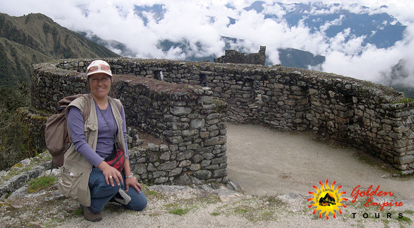
The hike is generally considered the most rewarding and pleasant of the entire trek. After an early breakfast. Halfway up to the top we come upon the circular ruins of Runkurakay, which served the function of both fortified lookout point as well as a supply storage depot. The summit is at an altitude of 3,900 meters.
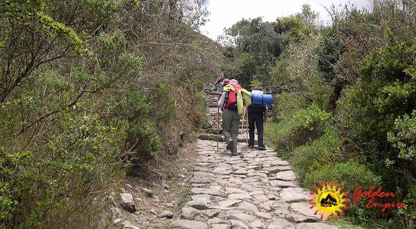
One again, the view from the top justifies the effort. The dense vegetation of the highland jungle and cloud forests, two new extensions of the Andean Mountain are now for the first time visible, these are the Pumasillo and Pallcay massiffs belonging to the Cordillera Vilcabamba. We descend upon a well built and wide Inca road. After some minutes we reach the rather amazing ruins of Sayacmarka, which are poised upon a knife edge ridge projecting high above the forest. These ruins yet possess over a dozen dwellings, several fountains and a small sun temple.
The Inca road now discourse comfortably through alternative sections of cloud forest, bamboo groves, ferns. After descending, we arrive at the archaeological complex of Phuyupatamarca, remarkable for its succession of eight water fountains or baths, built of finely cut and dressed granite.
From Phuyupatamarca, we go down a rather astonishing stairway (discovered in the year 1980) composed of many hundreds of steps, descends through the increasingly more densely vegetated midland cloud forest, eventually arriving at the exquisitely beautiful archaeological site of WIÑAYWAYNA. In this lovely site we shall camp on our last night on the Inca Trail.
- Distance: 16 Kilometers / 10 miles
- Approximate walking time: 8 hours
DAY 4 (WIÑAYWAYNA – MACHUPICCHU – CUSCO)
After our usual breakfast. A two hours hike though cloud forest, giant ferns. We reach Intipunku (the Sun gate), from where a spectacular panoramic view of the LOST CITY OF THE INCAS lies widely spread before our eyes. It is a moment that will remain forever cherished and unforgotten.
Once in Machu Picchu, there will be an extensive visit and guide tour of the city, we descend to the town of Aguas Calientes and, sometime later, board our return train to Cusco.
- Distance: 4 Kilometers 2.5 miles
- Approximate walking time 2 hours
Included
INCLUDED
- Transfer from hotel to km 82
- Tourist bus
- Professional tour guide
- Return Train ticket (Backpacker)
- Return bus ticket (Aguas Calientes-Cusco)
- Entrance fees to Inca trail and Machupicchu
- Plentiful nutritious meals (3 breakfasts, 3 lunchs, 3 dinners) vegetarian option available
- Teatime
- Snacks
- Porters
- Cookers
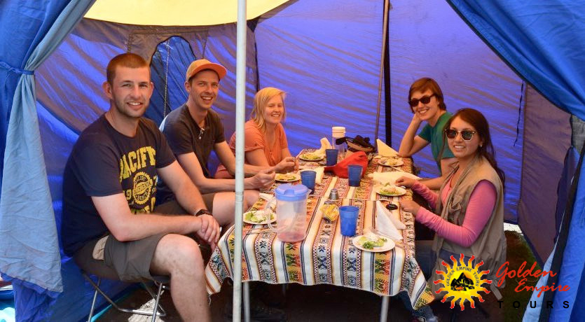
- High quality, double occupancy tents and camping equipment (includes dining tent, kitchen tent and toilet tent)
- First Aid kit
- Oxigen bottle
NOT INCLUDED
- Sleeping bag
- Breakfast on the first morning
- Lunch on the last day
- Tips
- Extra porters
Recommendations
Recomendations
- Backpack or duffle bag
- Warm clothing/thermals
- Rain jacket (Nov, March)
- Personal medical kit
- Insect repellent
- Trekking shoes.
- Wool socks
- Water bottle
- Sunscreen and hat
- Flashlight an extra batteries
- Sleeping bag
- Day pack
- Camera
- Emergency money cash in soles or dollars
- You should bring your original passport, the ISIC card for the students


